 Hl Samarinda
Current Status
Where is the vessel?
Hl Samarinda is currently in 171 nm E of Yeppoon, based on AIS data received about 14h ago.
Latest AIS update:
Current position: 22.13167° S, 154.07832° E (171 nm E of Yeppoon)
Average speed (last 7 days): Loading…
Average speed (last 30 days): Loading…
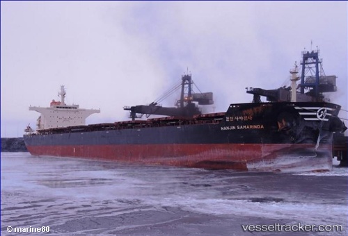
Vessel profile: Hl Samarinda is a Bulk Carrier with dimensions 255m x 43m.
This page combines live AIS, route history, probable destination signals, nearby traffic, and port activity for practical vessel monitoring.
The current position of vessel Hl Samarinda is -22.13167 lat / 154.07832 lng. Updated: 2026-05-21 03:24:04 UTCCurrently sailing under the flag of Panama ![]()
Hl Samarinda built in 2011 year
Deadweight:
114536 tDetails:
Live Vessel Hl Samarinda Analytics (details, animations, etc.)
Recent AIS points (UTC):
2026-05-20 23:45:02 UTC · -21.55667, 154.02834 · SOG 9 kn · COG -1°2026-05-21 01:15:02 UTC · -21.79167, 154.07167 · SOG 8 kn · COG -1°
2026-05-21 01:30:00 UTC · -21.83000, 154.07832 · SOG 9 kn · COG -1°
2026-05-21 03:24:04 UTC · -22.13167, 154.07832 · SOG 9 kn · COG -1°