 PARLA
PARLA
Current Status
Where is the vessel?
PARLA is currently in 16 nm E of Caioba, based on AIS data received about 14h ago.
Latest AIS update:
Current position: 25.74851° S, 48.24999° W (16 nm E of Caioba)
Average speed (last 7 days): Loading…
Average speed (last 30 days): Loading…
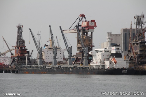
Vessel profile: PARLA is a Bulk Carrier with dimensions m x m.
This page combines live AIS, route history, probable destination signals, nearby traffic, and port activity for practical vessel monitoring.
The current position of vessel PARLA is -25.74851 lat / -48.24999 lng. Updated: 2026-05-20 05:54:03 UTCNearest reference points:
- 24 nm E of Caioba
- 32 nm E of Caioba
- 10 nm NE of CAMBORIU
Currently sailing under the flag of Marshall Islands ![]()
Details:
Live Vessel PARLA Analytics (details, animations, etc.)
Recent AIS points (UTC):
2026-05-20 02:08:59 UTC · -25.74880, -48.25034 · SOG 0.2 kn · COG 125°2026-05-20 03:24:22 UTC · -25.74833, -48.24833 · SOG 0 kn · COG -1°
2026-05-20 04:33:00 UTC · -25.74863, -48.25007 · SOG 0.3 kn · COG 135°
2026-05-20 05:54:03 UTC · -25.74851, -48.24999 · SOG 0.1 kn · COG 143°