 MANTA KEREM
Current Status
Where is the vessel?
MANTA KEREM is currently in 51 nm W of Florida Straits, based on AIS data received about 15h ago.
Latest AIS update:
Current position: 24.62587° N, 83.90104° W (51 nm W of Florida Straits)
Average speed (last 7 days): Loading…
Average speed (last 30 days): Loading…
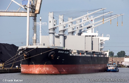
Vessel profile: MANTA KEREM is a Cargo with dimensions m x m.
This page combines live AIS, route history, probable destination signals, nearby traffic, and port activity for practical vessel monitoring.
The current position of vessel MANTA KEREM is 24.62587 lat / -83.90104 lng. Updated: 2026-05-19 03:27:54 UTCNearest reference points:
- 14 nm W of Florida Straits
- 40 nm S of Florida Straits
- 78 nm SW of Boca Grande
Currently sailing under the flag of Marshall Islands ![]()
Details:
Live Vessel MANTA KEREM Analytics (details, animations, etc.)
Recent AIS points (UTC):
2026-05-19 03:27:54 UTC · 24.62587, -83.90104 · SOG 8.3 kn · COG -1°2026-05-19 03:27:54 UTC · 24.62587, -83.90104 · SOG 8.3 kn · COG -1°
2026-05-19 03:27:54 UTC · 24.62587, -83.90104 · SOG 8.3 kn · COG -1°
2026-05-19 03:27:54 UTC · 24.62587, -83.90104 · SOG 8.3 kn · COG -1°