 OTSL HERA
Current Status
Where is the vessel?
OTSL HERA is currently in 21 nm W of SUNGAI UDANG, based on AIS data received about 14h ago.
Latest AIS update:
Current position: 2.12404° N, 101.79338° E (21 nm W of SUNGAI UDANG)
Average speed (last 7 days): Loading…
Average speed (last 30 days): Loading…
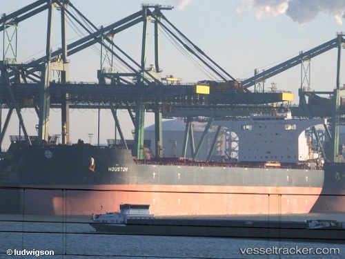
Vessel profile: OTSL HERA is a Bulk Carrier with dimensions m x m.
This page combines live AIS, route history, probable destination signals, nearby traffic, and port activity for practical vessel monitoring.
The current position of vessel OTSL HERA is 2.12404 lat / 101.79338 lng. Updated: 2026-05-18 22:02:19 UTCNearest reference points:
- 14 nm W of SUNGAI UDANG
- Near SUNGAI UDANG
- 13 nm SW of PORT DICKSON
Currently sailing under the flag of Liberia ![]()
Details:
Live Vessel OTSL HERA Analytics (details, animations, etc.)
Recent AIS points (UTC):
2026-05-18 19:50:38 UTC · 2.38398, 101.62174 · SOG 9.2 kn · COG 157°2026-05-18 19:50:38 UTC · 2.38398, 101.62174 · SOG 9.2 kn · COG 157°
2026-05-18 22:02:19 UTC · 2.12404, 101.79338 · SOG 10.6 kn · COG 121°
2026-05-18 22:02:19 UTC · 2.12404, 101.79338 · SOG 10.6 kn · COG 121°