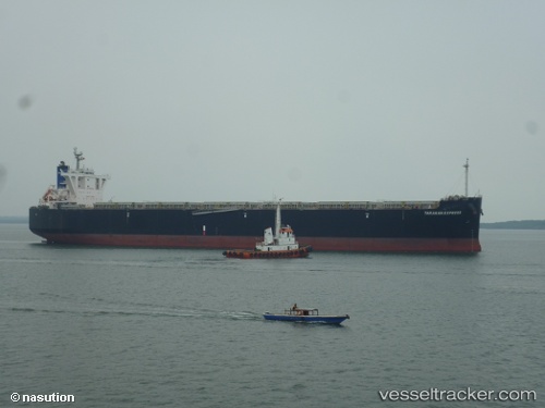
 TARAKAN EXPRESS
Current Status
Where is the vessel?
TARAKAN EXPRESS is currently in 22 nm E of YAMBA, based on AIS data received about 14h ago.
Latest AIS update:
Current position: 29.36240° S, 153.75739° E (22 nm E of YAMBA)
Average speed (last 7 days): Loading…
Average speed (last 30 days): Loading…
Vessel profile: TARAKAN EXPRESS is a Wood Chips Carrier with dimensions m x m.
This page combines live AIS, route history, probable destination signals, nearby traffic, and port activity for practical vessel monitoring.
The current position of vessel TARAKAN EXPRESS is -29.36240 lat / 153.75739 lng. Updated: 2026-05-19 13:53:54 UTCNearest reference points:
- Near Gold Coast
- Near Labrador
- Near Biggera Waters
Currently sailing under the flag of Singapore ![]()
Details:
Live Vessel TARAKAN EXPRESS Analytics (details, animations, etc.)
Recent AIS points (UTC):
2026-05-19 10:37:47 UTC · -28.59494, 153.91302 · SOG 15 kn · COG 182°2026-05-19 11:40:17 UTC · -28.85081, 153.88457 · SOG 14.8 kn · COG 199°
2026-05-19 13:51:05 UTC · -29.35186, 153.76027 · SOG 13.9 kn · COG 193°
2026-05-19 13:53:54 UTC · -29.36240, 153.75739 · SOG 13.9 kn · COG 192°