 JI GUI
Current Status
Where is the vessel?
JI GUI is currently in Near NISHI, based on AIS data received about 14h ago.
Latest AIS update:
Current position: 42.99608° N, 144.33095° E (Near NISHI)
Average speed (last 7 days): Loading…
Average speed (last 30 days): Loading…
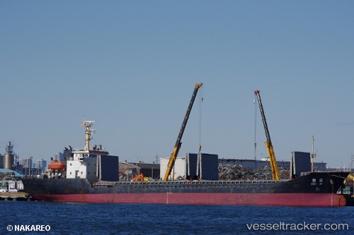
Vessel profile: JI GUI is a Cargo with dimensions m x m.
This page combines live AIS, route history, probable destination signals, nearby traffic, and port activity for practical vessel monitoring.
The current position of vessel JI GUI is 42.99608 lat / 144.33095 lng. Updated: 2026-05-18 22:08:37 UTCNearest reference points:
- Near NISHI
- Near Kushiro
- 11 nm NE of Tomari
Currently sailing under the flag of Panama ![]()
Details:
Live Vessel JI GUI Analytics (details, animations, etc.)
Recent AIS points (UTC):
2026-05-18 19:08:36 UTC · 42.99608, 144.33093 · SOG 0.1 kn · COG 279°2026-05-18 19:20:33 UTC · 42.99609, 144.33093 · SOG 0 kn · COG 279°
2026-05-18 21:50:37 UTC · 42.99609, 144.33095 · SOG 0.1 kn · COG 279°
2026-05-18 22:08:37 UTC · 42.99608, 144.33095 · SOG 0.1 kn · COG 279°