 vesseltracker.com
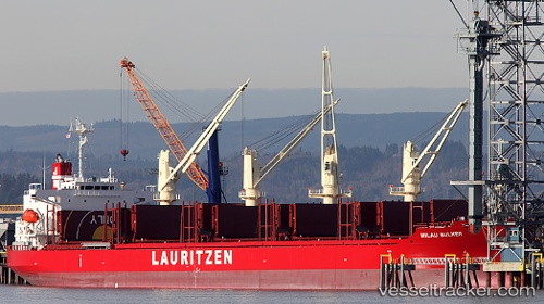
 AGIA IOANNA
Current Status
Where is the vessel?
AGIA IOANNA is currently in Near Bnei Darom, based on AIS data received about 14h ago.
Latest AIS update:
Current position: 31.66147° N, 31.71280° E (Near Bnei Darom)
Average speed (last 7 days): Loading…
Average speed (last 30 days): Loading…
Vessel profile: AGIA IOANNA is a Cargo with dimensions m x m.
This page combines live AIS, route history, probable destination signals, nearby traffic, and port activity for practical vessel monitoring.
The current position of vessel AGIA IOANNA is 31.66147 lat / 31.71280 lng. Updated: 2026-05-18 10:34:48 UTCNearest reference points:
- Near Damietta
- 21 nm N of Port Said
- 15 nm N of Port Said
Currently sailing under the flag of Marshall Islands ![]()
Details:
Live Vessel AGIA IOANNA Analytics (details, animations, etc.)
Recent AIS points (UTC):
2026-05-18 07:15:54 UTC · 31.66172, 31.71297 · SOG 0.1 kn · COG 301°2026-05-18 07:51:55 UTC · 31.66161, 31.71282 · SOG 0.1 kn · COG 304°
2026-05-18 09:44:38 UTC · 31.66159, 31.71282 · SOG 10 kn · COG 305°
2026-05-18 10:34:48 UTC · 31.66147, 31.71280 · SOG 0.1 kn · COG 310°