 vesseltracker.com
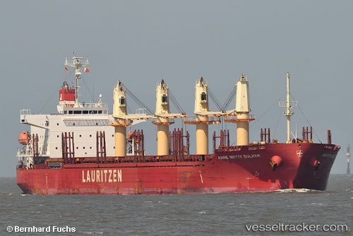
 LADY SARE
Current Status
Where is the vessel?
LADY SARE is currently in 107 nm NW of Santa Lucia, based on AIS data received less than 1h ago.
Latest AIS update:
Current position: 23.93833° N, 85.36500° W (107 nm NW of Santa Lucia)
Average speed (last 7 days): Loading…
Average speed (last 30 days): Loading…
Vessel profile: LADY SARE is a General Cargo Ship with dimensions 31m x 185m.
This page combines live AIS, route history, probable destination signals, nearby traffic, and port activity for practical vessel monitoring.
The current position of vessel LADY SARE is 23.93833 lat / -85.36500 lng. Updated: 2026-05-17 17:22:07 UTCNearest reference points:
- 14 nm W of Florida Straits
- 78 nm SW of Boca Grande
Currently sailing under the flag of Marshall Islands ![]()
LADY SARE built in 2012 year
Deadweight:
38118 tDetails:
Live Vessel LADY SARE Analytics (details, animations, etc.)
Recent AIS points (UTC):
2026-05-17 13:31:07 UTC · 24.07333, -86.08167 · SOG 10 kn · COG -1°2026-05-17 15:31:08 UTC · 24.01333, -85.71500 · SOG 10 kn · COG -1°
2026-05-17 16:07:08 UTC · 23.98833, -85.60333 · SOG 10 kn · COG -1°
2026-05-17 17:22:07 UTC · 23.93833, -85.36500 · SOG 10 kn · COG -1°