 vesseltracker.com
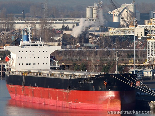
Bryant
Current StatusWhere is the vessel?
Bryant is currently in 282 nm SW of Harriet Harbour, based on AIS data received about 15h ago.
Latest AIS update:
Current position: 50.23675° N, 138.15335° W (282 nm SW of Harriet Harbour)
Average speed (last 7 days): Loading…
Average speed (last 30 days): Loading…
Vessel profile: Bryant is a Bulk Carrier with dimensions 32m x 225m.
This page combines live AIS, route history, probable destination signals, nearby traffic, and port activity for practical vessel monitoring.
The current position of vessel Bryant is 50.23675 lat / -138.15335 lng. Updated: 2026-05-17 23:27:28 UTCNearest reference points:
- 249 nm NE of Lukovica pri Domzalah
Details:
Live Vessel Bryant Analytics (details, animations, etc.)
Recent AIS points (UTC):
2026-05-17 20:22:36 UTC · 50.02465, -137.40079 · SOG 10.4 kn · COG 290°2026-05-17 21:18:48 UTC · 50.08813, -137.63342 · SOG 10.4 kn · COG 291°
2026-05-17 22:27:06 UTC · 50.16960, -137.91188 · SOG 10.2 kn · COG 291°
2026-05-17 23:27:28 UTC · 50.23675, -138.15335 · SOG 9.6 kn · COG 291°