 HOPE
HOPE
Current Status
Where is the vessel?
HOPE is currently in Near Puerto San José, based on AIS data received about 14h ago.
Latest AIS update:
Current position: 13.90013° N, 90.81025° W (Near Puerto San José)
Average speed (last 7 days): Loading…
Average speed (last 30 days): Loading…
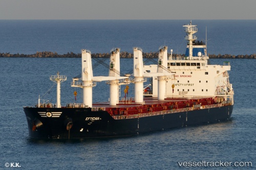
Vessel profile: HOPE is a Bulk Carrier with dimensions 38m x 8m.
This page combines live AIS, route history, probable destination signals, nearby traffic, and port activity for practical vessel monitoring.
The current position of vessel HOPE is 13.90013 lat / -90.81025 lng. Updated: 2026-05-20 04:45:41 UTCNearest reference points:
- Near San Jose
Currently sailing under the flag of Liberia ![]()
HOPE built in 2011 year
Deadweight:
34146 tDetails:
Live Vessel HOPE Analytics (details, animations, etc.)
Recent AIS points (UTC):
2026-05-20 01:26:06 UTC · 13.78941, -90.66072 · SOG 9.4 kn · COG 306°2026-05-20 01:44:25 UTC · 13.81554, -90.69776 · SOG 6.7 kn · COG 305°
2026-05-20 03:59:57 UTC · 13.89878, -90.80975 · SOG 1.7 kn · COG 231°
2026-05-20 04:45:41 UTC · 13.90013, -90.81025 · SOG 0.1 kn · COG 194°