 vesseltracker.com
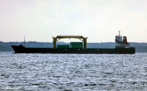
Pulau Layang
Current StatusWhere is the vessel?
Pulau Layang is currently in 14 nm NE of Mauk, based on AIS data received about 14h ago.
Latest AIS update:
Current position: 5.83331° S, 106.60704° E (14 nm NE of Mauk)
Average speed (last 7 days): Loading…
Average speed (last 30 days): Loading…
Vessel profile: Pulau Layang is a General Cargo Ship with dimensions 22m x 120m.
This page combines live AIS, route history, probable destination signals, nearby traffic, and port activity for practical vessel monitoring.
The current position of vessel Pulau Layang is -5.83331 lat / 106.60704 lng. Updated: 2026-05-18 04:14:42 UTCNearest reference points:
- 19 nm N of Cilincing
- Near Manggadua
- Near New Priok Port
Details:
Live Vessel Pulau Layang Analytics (details, animations, etc.)
Recent AIS points (UTC):
2026-05-18 01:37:21 UTC · -5.85996, 106.18886 · SOG 9.9 kn · COG -1°2026-05-18 01:50:01 UTC · -5.85306, 106.22349 · SOG 10 kn · COG -1°
2026-05-18 03:31:05 UTC · -5.83345, 106.49310 · SOG 9.4 kn · COG -1°
2026-05-18 04:14:42 UTC · -5.83331, 106.60704 · SOG 9.7 kn · COG -1°