 vesseltracker.com
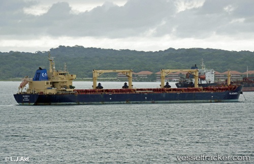
Watford
Current StatusWhere is the vessel?
Watford is currently in 72 nm SW of Saint-Pierre, based on AIS data received about 19h ago.
Latest AIS update:
Current position: 22.36223° S, 54.80770° E (72 nm SW of Saint-Pierre)
Average speed (last 7 days): Loading…
Average speed (last 30 days): Loading…
Vessel profile: Watford is a Bulk Carrier with dimensions 32m x 190m.
This page combines live AIS, route history, probable destination signals, nearby traffic, and port activity for practical vessel monitoring.
The current position of vessel Watford is -22.36223 lat / 54.80770 lng. Updated: 2026-05-17 23:07:28 UTCNearest reference points:
- 129 nm W of Al Azaiba
Details:
Live Vessel Watford Analytics (details, animations, etc.)
Recent AIS points (UTC):
2026-05-17 23:07:28 UTC · -22.36223, 54.80770 · SOG 10.8 kn · COG 242°2026-05-17 23:07:28 UTC · -22.36223, 54.80770 · SOG 10.8 kn · COG 242°
2026-05-17 23:07:28 UTC · -22.36223, 54.80770 · SOG 10.8 kn · COG 242°
2026-05-17 23:07:28 UTC · -22.36223, 54.80770 · SOG 10.8 kn · COG 242°