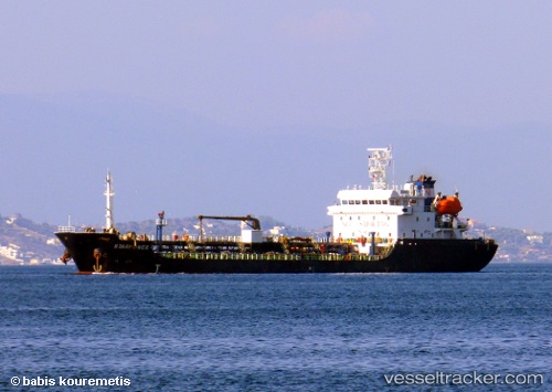
 MY WORRY
Current Status
Where is the vessel?
MY WORRY is currently in Near ASPROPYRGOS, based on AIS data received about 14h ago.
Latest AIS update:
Current position: 38.02879° N, 23.59512° E (Near ASPROPYRGOS)
Average speed (last 7 days): Loading…
Average speed (last 30 days): Loading…
Vessel profile: MY WORRY is a Asphalt/Bitumen Tanker with dimensions m x m.
This page combines live AIS, route history, probable destination signals, nearby traffic, and port activity for practical vessel monitoring.
The current position of vessel MY WORRY is 38.02879 lat / 23.59512 lng. Updated: 2026-05-20 08:14:23 UTCNearest reference points:
- Near Keratsínion
- Near PERAMA
- Near Drapetzona
Currently sailing under the flag of Marshall Islands ![]()
Details:
Live Vessel MY WORRY Analytics (details, animations, etc.)
Recent AIS points (UTC):
2026-05-20 04:26:27 UTC · 38.02872, 23.59507 · SOG 0 kn · COG 258°2026-05-20 05:44:25 UTC · 38.02877, 23.59511 · SOG 0 kn · COG 258°
2026-05-20 07:35:25 UTC · 38.02878, 23.59512 · SOG 0 kn · COG 259°
2026-05-20 08:14:23 UTC · 38.02879, 23.59512 · SOG 0 kn · COG 259°