 vesseltracker.com
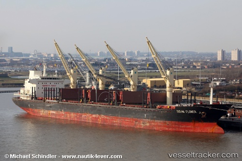
 HSC NEW LUCKY
Current Status
Where is the vessel?
HSC NEW LUCKY is currently in 22 nm E of Geomundo, based on AIS data received about 15h ago.
Latest AIS update:
Current position: 33.96520° N, 127.73043° E (22 nm E of Geomundo)
Average speed (last 7 days): Loading…
Average speed (last 30 days): Loading…
Vessel profile: HSC NEW LUCKY is a Bulk Carrier with dimensions m x m.
This page combines live AIS, route history, probable destination signals, nearby traffic, and port activity for practical vessel monitoring.
The current position of vessel HSC NEW LUCKY is 33.96520 lat / 127.73043 lng. Updated: 2026-05-18 04:25:12 UTCNearest reference points:
- 12 nm E of Geomundo
- 35 nm E of Geomundo
- 25 nm S of Kukdo
Currently sailing under the flag of Panama ![]()
Details:
Live Vessel HSC NEW LUCKY Analytics (details, animations, etc.)
Recent AIS points (UTC):
2026-05-18 01:41:02 UTC · 33.47816, 127.42206 · SOG 12 kn · COG 39°2026-05-18 01:42:33 UTC · 33.48227, 127.42558 · SOG 12 kn · COG 40°
2026-05-18 03:26:03 UTC · 33.78676, 127.63195 · SOG 12.2 kn · COG 25°
2026-05-18 04:25:12 UTC · 33.96520, 127.73043 · SOG 11.9 kn · COG 19°