 PRINCE
Current Status
Where is the vessel?
PRINCE is currently in 44 nm E of MASIRAH, based on AIS data received about 14h ago.
Latest AIS update:
Current position: 20.65167° N, 59.65500° E (44 nm E of MASIRAH)
Average speed (last 7 days): Loading…
Average speed (last 30 days): Loading…
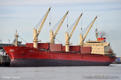
Vessel profile: PRINCE is a Bulk Carrier with dimensions m x m.
This page combines live AIS, route history, probable destination signals, nearby traffic, and port activity for practical vessel monitoring.
The current position of vessel PRINCE is 20.65167 lat / 59.65500 lng. Updated: 2026-05-22 01:24:35 UTCNearest reference points:
- 90 nm SE of SUR
- Near AL DUQM
- Near Duqm
Currently sailing under the flag of Panama ![]()
Details:
Live Vessel PRINCE Analytics (details, animations, etc.)
Recent AIS points (UTC):
2026-05-21 20:13:51 UTC · 19.83855, 59.22935 · SOG 10.5 kn · COG 35°2026-05-21 22:02:20 UTC · 20.11197, 59.41095 · SOG 10.6 kn · COG 36°
2026-05-21 22:06:30 UTC · 20.12167, 59.41667 · SOG 10 kn · COG -1°
2026-05-22 01:24:35 UTC · 20.65167, 59.65500 · SOG 10 kn · COG -1°