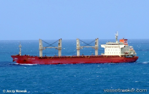
 ETHRA GOLD
Current Status
Where is the vessel?
ETHRA GOLD is currently in 10 nm SW of Neeltje Jans, based on AIS data received about 14h ago.
Latest AIS update:
Current position: 53.48833° N, 3.55667° E (10 nm SW of Neeltje Jans)
Average speed (last 7 days): Loading…
Average speed (last 30 days): Loading…
Vessel profile: ETHRA GOLD is a Bulk Carrier with dimensions m x m.
This page combines live AIS, route history, probable destination signals, nearby traffic, and port activity for practical vessel monitoring.
The current position of vessel ETHRA GOLD is 53.48833 lat / 3.55667 lng. Updated: 2026-05-21 01:44:47 UTCNearest reference points:
- Near Neeltje Jans
- 19 nm NW of Neeltje Jans
- 23 nm N of de Ruyter
Currently sailing under the flag of Marshall Islands ![]()
Details:
Live Vessel ETHRA GOLD Analytics (details, animations, etc.)
Recent AIS points (UTC):
2026-05-20 23:05:49 UTC · 53.86500, 4.00500 · SOG 10 kn · COG -1°2026-05-20 23:25:54 UTC · 53.82866, 3.92968 · SOG 10.4 kn · COG 234°
2026-05-21 01:08:46 UTC · 53.59667, 3.61500 · SOG 11 kn · COG -1°
2026-05-21 01:44:47 UTC · 53.48833, 3.55667 · SOG 11 kn · COG -1°