 SMOOTH WIND
Current Status
Where is the vessel?
SMOOTH WIND is currently in 91 nm SE of Jinghai, based on AIS data received about 14h ago.
Latest AIS update:
Current position: 21.76445° N, 117.20270° E (91 nm SE of Jinghai)
Average speed (last 7 days): Loading…
Average speed (last 30 days): Loading…
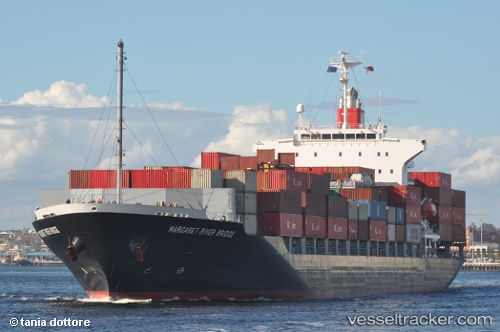
Vessel profile: SMOOTH WIND is a Container Ship with dimensions m x m.
This page combines live AIS, route history, probable destination signals, nearby traffic, and port activity for practical vessel monitoring.
The current position of vessel SMOOTH WIND is 21.76445 lat / 117.20270 lng. Updated: 2026-05-21 13:46:52 UTCNearest reference points:
- 64 nm SE of Jiazi
- 53 nm S of Jiazi
- 24 nm SE of Jinghai
Currently sailing under the flag of Liberia ![]()
Details:
Live Vessel SMOOTH WIND Analytics (details, animations, etc.)
Recent AIS points (UTC):
2026-05-21 10:11:08 UTC · 21.47117, 116.25947 · SOG 15.9 kn · COG 63°2026-05-21 12:11:26 UTC · 21.65593, 116.80248 · SOG 15.1 kn · COG 72°
2026-05-21 13:34:20 UTC · 21.75332, 117.15058 · SOG 14.4 kn · COG 77°
2026-05-21 13:46:52 UTC · 21.76445, 117.20270 · SOG 15.3 kn · COG 81°