 MANTA NILGUN
Current Status
Where is the vessel?
MANTA NILGUN is currently in Near Okwori, based on AIS data received about 14h ago.
Latest AIS update:
Current position: 3.91397° N, 7.08624° E (Near Okwori)
Average speed (last 7 days): Loading…
Average speed (last 30 days): Loading…
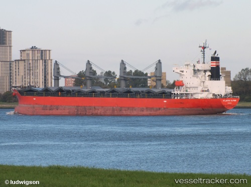
Vessel profile: MANTA NILGUN is a General Cargo Ship with dimensions 28m x 180m.
This page combines live AIS, route history, probable destination signals, nearby traffic, and port activity for practical vessel monitoring.
The current position of vessel MANTA NILGUN is 3.91397 lat / 7.08624 lng. Updated: 2026-05-22 16:41:32 UTCNearest reference points:
- 12 nm N of Okwori
- 12 nm SE of Okono
- 21 nm SW of Bonny
Currently sailing under the flag of Marshall Islands ![]()
MANTA NILGUN built in 2011 year
Deadweight:
33671 tDetails:
Live Vessel MANTA NILGUN Analytics (details, animations, etc.)
Recent AIS points (UTC):
2026-05-22 13:05:44 UTC · 4.48784, 7.18036 · SOG 8.1 kn · COG 205°2026-05-22 13:26:06 UTC · 4.44487, 7.14851 · SOG 9.9 kn · COG -1°
2026-05-22 15:44:54 UTC · 4.07294, 7.04737 · SOG 10.4 kn · COG 168°
2026-05-22 16:41:32 UTC · 3.91397, 7.08624 · SOG 10.9 kn · COG 168°