 SERALIA
Current Status
Where is the vessel?
SERALIA is currently in 36 nm S of Fairview, based on AIS data received about 14h ago.
Latest AIS update:
Current position: 34.58704° S, 24.24309° E (36 nm S of Fairview)
Average speed (last 7 days): Loading…
Average speed (last 30 days): Loading…
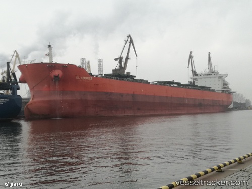
Vessel profile: SERALIA is a Bulk Carrier with dimensions m x m.
This page combines live AIS, route history, probable destination signals, nearby traffic, and port activity for practical vessel monitoring.
The current position of vessel SERALIA is -34.58704 lat / 24.24309 lng. Updated: 2026-05-21 13:05:27 UTCNearest reference points:
- 21 nm S of Mount Pleasant
- Near Deal Party
- Near Mosselbaai
Currently sailing under the flag of Panama ![]()
Details:
Live Vessel SERALIA Analytics (details, animations, etc.)
Recent AIS points (UTC):
2026-05-21 09:54:00 UTC · -34.44215, 24.95879 · SOG 11.4 kn · COG 266°2026-05-21 10:58:20 UTC · -34.48595, 24.71565 · SOG 11.6 kn · COG 247°
2026-05-21 11:22:50 UTC · -34.51550, 24.62652 · SOG 11.5 kn · COG 246°
2026-05-21 13:05:27 UTC · -34.58704, 24.24309 · SOG 11.5 kn · COG 265°