 ANITA I
Current Status
Where is the vessel?
ANITA I is currently in Near SURALAYA, based on AIS data received about 14h ago.
Latest AIS update:
Current position: 5.86915° S, 106.09444° E (Near SURALAYA)
Average speed (last 7 days): Loading…
Average speed (last 30 days): Loading…
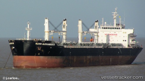
Vessel profile: ANITA I is a Bulk Carrier with dimensions m x m.
This page combines live AIS, route history, probable destination signals, nearby traffic, and port activity for practical vessel monitoring.
The current position of vessel ANITA I is -5.86915 lat / 106.09444 lng. Updated: 2026-05-21 10:12:53 UTCNearest reference points:
- Near SURALAYA
- Near MERAK
- Near CILEGON
Currently sailing under the flag of Indonesia ![]()
Details:
Live Vessel ANITA I Analytics (details, animations, etc.)
Recent AIS points (UTC):
2026-05-21 08:03:53 UTC · -5.86970, 106.09424 · SOG 0 kn · COG 264°2026-05-21 08:03:53 UTC · -5.86970, 106.09424 · SOG 0 kn · COG 264°
2026-05-21 09:33:50 UTC · -5.86955, 106.09438 · SOG 0 kn · COG 259°
2026-05-21 10:12:53 UTC · -5.86915, 106.09444 · SOG 0.2 kn · COG 253°