 Papa John
Current Status
Where is the vessel?
Papa John is currently in 61 nm E of Ruby, based on AIS data received about 14h ago.
Latest AIS update:
Current position: 10.13343° N, 109.50450° E (61 nm E of Ruby)
Average speed (last 7 days): Loading…
Average speed (last 30 days): Loading…
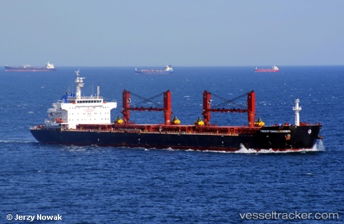
Vessel profile: Papa John is a Bulk Carrier with dimensions 190m x 22m.
This page combines live AIS, route history, probable destination signals, nearby traffic, and port activity for practical vessel monitoring.
The current position of vessel Papa John is 10.13343 lat / 109.50450 lng. Updated: 2026-05-20 06:17:08 UTCNearest reference points:
- Near Rang Dong
- 156 nm SE of Phan Rang-Tháp Chàm
- Near Vinh Cam Ranh
Currently sailing under the flag of Marshall Is ![]()
Papa John built in 2010 year
Deadweight:
56543 tDetails:
Live Vessel Papa John Analytics (details, animations, etc.)
Recent AIS points (UTC):
2026-05-20 01:24:06 UTC · 9.36832, 109.03613 · SOG 11.8 kn · COG 33°2026-05-20 03:34:07 UTC · 9.70925, 109.24497 · SOG 10.8 kn · COG -1°
2026-05-20 04:49:22 UTC · 9.90977, 109.35808 · SOG 11 kn · COG -1°
2026-05-20 06:17:08 UTC · 10.13343, 109.50450 · SOG 10.4 kn · COG 28°