 MFM MISSISSIPPI
Current Status
Where is the vessel?
MFM MISSISSIPPI is currently in 178 nm E of Manakara, based on AIS data received about 14h ago.
Latest AIS update:
Current position: 22.85663° S, 51.13816° E (178 nm E of Manakara)
Average speed (last 7 days): Loading…
Average speed (last 30 days): Loading…
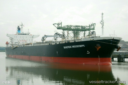
Vessel profile: MFM MISSISSIPPI is a Oil Products Tanker with dimensions m x m.
This page combines live AIS, route history, probable destination signals, nearby traffic, and port activity for practical vessel monitoring.
The current position of vessel MFM MISSISSIPPI is -22.85663 lat / 51.13816 lng. Updated: 2026-05-22 02:22:38 UTCNearest reference points:
- 194 nm E of Manakara
- 209 nm E of Manakara
Currently sailing under the flag of Marshall Islands ![]()
Details:
Live Vessel MFM MISSISSIPPI Analytics (details, animations, etc.)
Recent AIS points (UTC):
2026-05-21 22:02:09 UTC · -23.32711, 50.33894 · SOG 12 kn · COG 62°2026-05-21 22:17:07 UTC · -23.30001, 50.38525 · SOG 12.1 kn · COG 62°
2026-05-22 01:48:46 UTC · -22.91903, 51.03495 · SOG 11.9 kn · COG 61°
2026-05-22 02:22:38 UTC · -22.85663, 51.13816 · SOG 12.2 kn · COG 60°