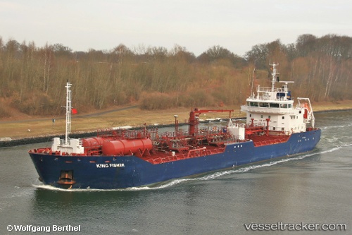
 KING FISHER
Current Status
Where is the vessel?
KING FISHER is currently in 32 nm NE of Adventure, based on AIS data received about 14h ago.
Latest AIS update:
Current position: 7.55500° N, 58.22833° W (32 nm NE of Adventure)
Average speed (last 7 days): Loading…
Average speed (last 30 days): Loading…
Vessel profile: KING FISHER is a Oil Products Tanker with dimensions m x m.
This page combines live AIS, route history, probable destination signals, nearby traffic, and port activity for practical vessel monitoring.
The current position of vessel KING FISHER is 7.55500 lat / -58.22833 lng. Updated: 2026-05-20 04:08:02 UTCNearest reference points:
- 57 nm NE of Adventure
- 38 nm NW of Jarikaba
Currently sailing under the flag of United Kingdom ![]()
Details:
Live Vessel KING FISHER Analytics (details, animations, etc.)
Recent AIS points (UTC):
2026-05-19 23:27:42 UTC · 8.01797, -58.42730 · SOG 7.3 kn · COG 147°2026-05-20 01:35:00 UTC · 7.80167, -58.33667 · SOG 6 kn · COG -1°
2026-05-20 01:40:59 UTC · 7.79333, -58.33333 · SOG 6 kn · COG -1°
2026-05-20 04:08:02 UTC · 7.55500, -58.22833 · SOG 6 kn · COG -1°