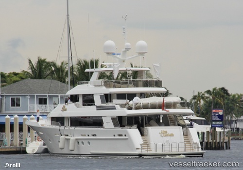
 BLUE TIME
Current Status
Where is the vessel?
BLUE TIME is currently in Near Nassau, based on AIS data received about 15h ago.
Latest AIS update:
Current position: 25.07534° N, 77.31331° W (Near Nassau)
Average speed (last 7 days): Loading…
Average speed (last 30 days): Loading…
Vessel profile: BLUE TIME is a Yacht with dimensions m x m.
This page combines live AIS, route history, probable destination signals, nearby traffic, and port activity for practical vessel monitoring.
The current position of vessel BLUE TIME is 25.07534 lat / -77.31331 lng. Updated: 2026-05-19 02:18:27 UTCNearest reference points:
- Near Nassau
- Near Lyford Cay
- 11 nm S of Lyford Cay
Currently sailing under the flag of United States ![]()
Details:
Live Vessel BLUE TIME Analytics (details, animations, etc.)
Recent AIS points (UTC):
2026-05-18 22:38:34 UTC · 25.07500, -77.31167 · SOG 0 kn · COG -1°2026-05-18 23:36:31 UTC · 25.07535, -77.31332 · SOG 0 kn · COG 284°
2026-05-19 01:51:31 UTC · 25.07534, -77.31330 · SOG 0 kn · COG 284°
2026-05-19 02:18:27 UTC · 25.07534, -77.31331 · SOG 0 kn · COG 284°