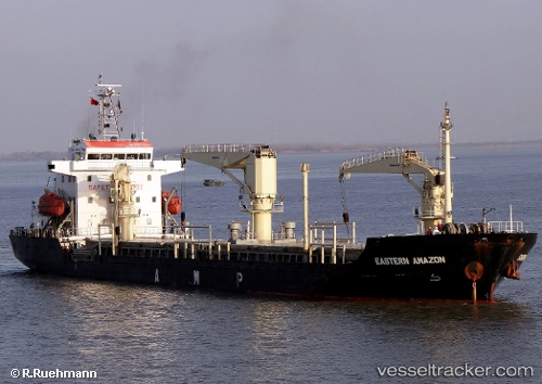
 CEMAL REIS
Current Status
Where is the vessel?
CEMAL REIS is currently in 40 nm W of PENICHE, based on AIS data received about 14h ago.
Latest AIS update:
Current position: 39.33657° N, 10.23156° W (40 nm W of PENICHE)
Average speed (last 7 days): Loading…
Average speed (last 30 days): Loading…
Vessel profile: CEMAL REIS is a Not available with dimensions m x m.
This page combines live AIS, route history, probable destination signals, nearby traffic, and port activity for practical vessel monitoring.
The current position of vessel CEMAL REIS is 39.33657 lat / -10.23156 lng. Updated: 2026-05-22 07:28:12 UTCNearest reference points:
- 18 nm W of Colares
- Near PENICHE
- Near CASCAIS
Currently sailing under the flag of Barbados ![]()
Details:
Live Vessel CEMAL REIS Analytics (details, animations, etc.)
Recent AIS points (UTC):
2026-05-22 03:36:52 UTC · 40.01500, -10.39167 · SOG 10 kn · COG -1°2026-05-22 04:24:55 UTC · 39.87167, -10.36500 · SOG 10 kn · COG -1°
2026-05-22 05:45:54 UTC · 39.63500, -10.31167 · SOG 10 kn · COG -1°
2026-05-22 07:28:12 UTC · 39.33657, -10.23156 · SOG 10.8 kn · COG 169°