 Ft Portoria
Current Status
Where is the vessel?
Ft Portoria is currently in Near Pernis, based on AIS data received about 14h ago.
Latest AIS update:
Current position: 51.89320° N, 4.36556° E (Near Pernis)
Average speed (last 7 days): Loading…
Average speed (last 30 days): Loading…
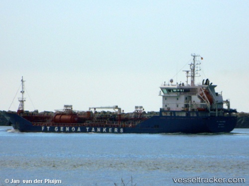
Vessel profile: Ft Portoria is a Chemical Oil Products Tanker with dimensions 107m x 107m.
This page combines live AIS, route history, probable destination signals, nearby traffic, and port activity for practical vessel monitoring.
The current position of vessel Ft Portoria is 51.89320 lat / 4.36556 lng. Updated: 2026-05-19 01:49:02 UTCNearest reference points:
- Near Pernis
- Near VONDELINGENPLAAT - ROTTERDAM
- Near ROTTERDAM PERNIS
Currently sailing under the flag of Malta ![]()
Details:
Live Vessel Ft Portoria Analytics (details, animations, etc.)
Recent AIS points (UTC):
2026-05-18 23:00:41 UTC · 51.90247, 4.27132 · SOG 9 kn · COG 121°2026-05-19 00:04:29 UTC · 51.89316, 4.36558 · SOG 0 kn · COG 16°
2026-05-19 01:19:02 UTC · 51.89316, 4.36560 · SOG 0 kn · COG 16°
2026-05-19 01:49:02 UTC · 51.89320, 4.36556 · SOG 0 kn · COG 17°