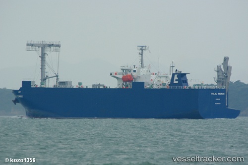
Pulau Tioman
Current StatusWhere is the vessel?
Pulau Tioman is currently in 31 nm NW of Pulau Jarak, based on AIS data received about 14h ago.
Latest AIS update:
Current position: 4.24333° N, 99.65333° E (31 nm NW of Pulau Jarak)
Average speed (last 7 days): Loading…
Average speed (last 30 days): Loading…
Vessel profile: Pulau Tioman is a Vehicles Carrier with dimensions 20m x 120m.
This page combines live AIS, route history, probable destination signals, nearby traffic, and port activity for practical vessel monitoring.
The current position of vessel Pulau Tioman is 4.24333 lat / 99.65333 lng. Updated: 2026-05-21 23:07:00 UTCNearest reference points:
- 43 nm NE of Perbaungan
- 11 nm W of Pangkur
- 10 nm NE of Belawan
Details:
Live Vessel Pulau Tioman Analytics (details, animations, etc.)
Recent AIS points (UTC):
2026-05-21 19:54:58 UTC · 4.71167, 99.28167 · SOG 10 kn · COG -1°2026-05-21 20:21:55 UTC · 4.64833, 99.33333 · SOG 10 kn · COG -1°
2026-05-21 22:13:01 UTC · 4.38167, 99.55333 · SOG 11 kn · COG -1°
2026-05-21 23:07:00 UTC · 4.24333, 99.65333 · SOG 11 kn · COG -1°