 vesseltracker.com
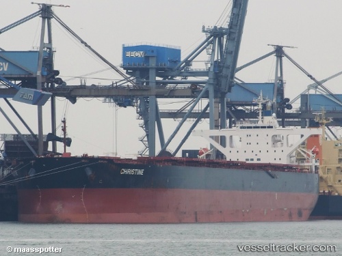
Star Martha
Current StatusWhere is the vessel?
Star Martha is currently in Open sea (no nearby ports in database), based on AIS data received about 14h ago.
Latest AIS update:
Current position: 13.30183° S, 26.69089° W (Open sea (no nearby ports in database))
Average speed (last 7 days): Loading…
Average speed (last 30 days): Loading…
Vessel profile: Star Martha is a Bulk Carrier with dimensions 45m x 289m.
This page combines live AIS, route history, probable destination signals, nearby traffic, and port activity for practical vessel monitoring.
The current position of vessel Star Martha is -13.30183 lat / -26.69089 lng. Updated: 2026-05-17 19:27:15 UTCNearest reference points:
- Open sea (no nearby ports in database)
Details:
Live Vessel Star Martha Analytics (details, animations, etc.)
Recent AIS points (UTC):
2026-05-17 16:44:32 UTC · -12.95745, -27.04023 · SOG 10.5 kn · COG 135°2026-05-17 18:08:12 UTC · -13.13997, -26.86628 · SOG 10.6 kn · COG 134°
2026-05-17 19:22:53 UTC · -13.29300, -26.70058 · SOG 10.6 kn · COG 132°
2026-05-17 19:27:15 UTC · -13.30183, -26.69089 · SOG 10.6 kn · COG 131°