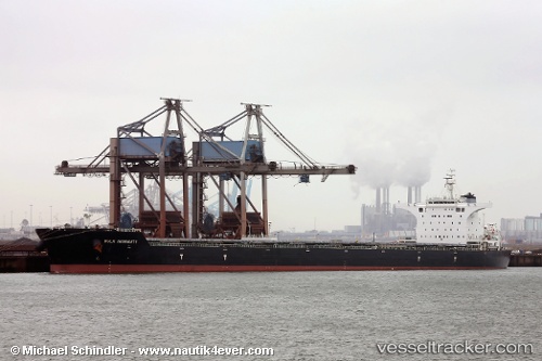
 INGENUITY
Current Status
Where is the vessel?
INGENUITY is currently in 72 nm E of Whitsunday Island, based on AIS data received about 14h ago.
Latest AIS update:
Current position: 20.23541° S, 150.30209° E (72 nm E of Whitsunday Island)
Average speed (last 7 days): Loading…
Average speed (last 30 days): Loading…
Vessel profile: INGENUITY is a Cargo with dimensions m x m.
This page combines live AIS, route history, probable destination signals, nearby traffic, and port activity for practical vessel monitoring.
The current position of vessel INGENUITY is -20.23541 lat / 150.30209 lng. Updated: 2026-05-19 10:37:45 UTCNearest reference points:
- Near Whitsunday Island
- Near Mackay
- Near AIRLIE
Currently sailing under the flag of Cyprus ![]()
Details:
Live Vessel INGENUITY Analytics (details, animations, etc.)
Recent AIS points (UTC):
2026-05-19 07:15:04 UTC · -19.67833, 150.46333 · SOG 2 kn · COG -1°2026-05-19 07:25:57 UTC · -19.68868, 150.46088 · SOG 4.5 kn · COG 210°
2026-05-19 09:22:54 UTC · -19.95174, 150.28981 · SOG 13.8 kn · COG 183°
2026-05-19 10:37:45 UTC · -20.23541, 150.30209 · SOG 13.6 kn · COG 167°