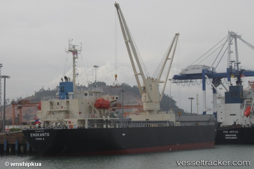
 ENGKANTO
Current Status
Where is the vessel?
ENGKANTO is currently in 46 nm N of Dai Hung (Tandem Load), based on AIS data received about 14h ago.
Latest AIS update:
Current position: 9.22667° N, 108.79833° E (46 nm N of Dai Hung (Tandem Load))
Average speed (last 7 days): Loading…
Average speed (last 30 days): Loading…
Vessel profile: ENGKANTO is a General Cargo with dimensions m x m.
This page combines live AIS, route history, probable destination signals, nearby traffic, and port activity for practical vessel monitoring.
The current position of vessel ENGKANTO is 9.22667 lat / 108.79833 lng. Updated: 2026-05-21 21:40:05 UTCNearest reference points:
- Near Rang Dong
- 30 nm SW of Dai Hung (Tandem Load)
- 59 nm SW of Bach Ho
Currently sailing under the flag of Panama ![]()
Details:
Live Vessel ENGKANTO Analytics (details, animations, etc.)
Recent AIS points (UTC):
2026-05-21 17:40:03 UTC · 8.62167, 108.34833 · SOG 11 kn · COG -1°2026-05-21 19:19:04 UTC · 8.86833, 108.54667 · SOG 11 kn · COG -1°
2026-05-21 19:19:04 UTC · 8.86833, 108.54667 · SOG 11 kn · COG -1°
2026-05-21 21:40:05 UTC · 9.22667, 108.79833 · SOG 10 kn · COG -1°