 MIKE THOMAS
Current Status
Where is the vessel?
MIKE THOMAS is currently in 256 nm S of Shitan, based on AIS data received about 14h ago.
Latest AIS update:
Current position: 19.04878° N, 114.79101° W (256 nm S of Shitan)
Average speed (last 7 days): Loading…
Average speed (last 30 days): Loading…
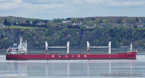
Vessel profile: MIKE THOMAS is a Bulk Carrier with dimensions m x m.
This page combines live AIS, route history, probable destination signals, nearby traffic, and port activity for practical vessel monitoring.
The current position of vessel MIKE THOMAS is 19.04878 lat / -114.79101 lng. Updated: 2026-05-22 07:33:10 UTCNearest reference points:
- Open sea, approx. 401 nm off the nearest listed port
- Open sea, approx. 403 nm off the nearest listed port
- Open sea, approx. 402 nm off the nearest listed port
Currently sailing under the flag of Portugal ![]()
Details:
Live Vessel MIKE THOMAS Analytics (details, animations, etc.)
Recent AIS points (UTC):
2026-05-22 04:42:48 UTC · 18.89333, -114.24333 · SOG 11 kn · COG -1°2026-05-22 05:53:02 UTC · 18.95987, -114.46647 · SOG 11.1 kn · COG 288°
2026-05-22 07:13:40 UTC · 19.03104, -114.72866 · SOG 11.4 kn · COG 289°
2026-05-22 07:33:10 UTC · 19.04878, -114.79101 · SOG 11.2 kn · COG 289°