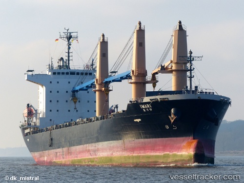
 IMARI
IMARI
Current Status
Where is the vessel?
IMARI is currently in 37 nm S of Slipi, based on AIS data received about 16h ago.
Latest AIS update:
Current position: 5.57287° N, 106.91134° E (37 nm S of Slipi)
Average speed (last 7 days): Loading…
Average speed (last 30 days): Loading…
Vessel profile: IMARI is a General Cargo with dimensions m x m.
This page combines live AIS, route history, probable destination signals, nearby traffic, and port activity for practical vessel monitoring.
The current position of vessel IMARI is 5.57287 lat / 106.91134 lng. Updated: 2026-05-21 18:23:08 UTCNearest reference points:
- 36 nm SW of Slipi
- 46 nm E of Kakap Natuna Terminal
- 45 nm E of Kakap Natuna Terminal
Currently sailing under the flag of Marshall Islands ![]()
Details:
Live Vessel IMARI Analytics (details, animations, etc.)
Recent AIS points (UTC):
2026-05-21 18:23:08 UTC · 5.57287, 106.91134 · SOG 11.4 kn · COG 212°2026-05-21 18:23:08 UTC · 5.57287, 106.91134 · SOG 11.4 kn · COG 212°
2026-05-21 18:23:08 UTC · 5.57287, 106.91134 · SOG 11.4 kn · COG 212°
2026-05-21 18:23:08 UTC · 5.57287, 106.91134 · SOG 11.4 kn · COG 212°