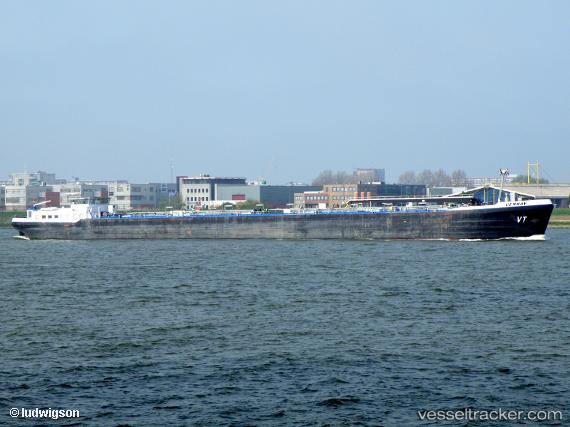
 VENRAY
Current Status
Where is the vessel?
VENRAY is currently in Near Melones, based on AIS data received about 15h ago.
Latest AIS update:
Current position: 8.84306° N, 79.58254° W (Near Melones)
Average speed (last 7 days): Loading…
Average speed (last 30 days): Loading…
Vessel profile: VENRAY is a Inland Tanker with dimensions m x m.
This page combines live AIS, route history, probable destination signals, nearby traffic, and port activity for practical vessel monitoring.
The current position of vessel VENRAY is 8.84306 lat / -79.58254 lng. Updated: 2026-05-20 05:52:56 UTCNearest reference points:
- Near Melones
- Near Panama
- Near El Chorrillo
Currently sailing under the flag of Panama ![]()
Details:
Live Vessel VENRAY Analytics (details, animations, etc.)
Recent AIS points (UTC):
2026-05-20 02:25:54 UTC · 8.84303, -79.58208 · SOG 0 kn · COG 349°2026-05-20 03:55:59 UTC · 8.84301, -79.58216 · SOG 0 kn · COG 352°
2026-05-20 04:40:54 UTC · 8.84302, -79.58222 · SOG 0 kn · COG 358°
2026-05-20 05:52:56 UTC · 8.84306, -79.58254 · SOG 0.1 kn · COG 21°