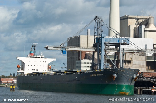
 SUNRISE SERENITY
Current Status
Where is the vessel?
SUNRISE SERENITY is currently in Near Tatibana Ko, based on AIS data received about 14h ago.
Latest AIS update:
Current position: 33.85873° N, 134.66393° E (Near Tatibana Ko)
Average speed (last 7 days): Loading…
Average speed (last 30 days): Loading…
Vessel profile: SUNRISE SERENITY is a Bulk Carrier with dimensions m x m.
This page combines live AIS, route history, probable destination signals, nearby traffic, and port activity for practical vessel monitoring.
The current position of vessel SUNRISE SERENITY is 33.85873 lat / 134.66393 lng. Updated: 2026-05-21 07:42:37 UTCNearest reference points:
- Near TOKUSHIMA
- Near SHIMOTSU
- 12 nm S of Gobo Wakayama
Currently sailing under the flag of Japan ![]()
Details:
Live Vessel SUNRISE SERENITY Analytics (details, animations, etc.)
Recent AIS points (UTC):
2026-05-21 04:03:35 UTC · 33.85873, 134.66393 · SOG 0 kn · COG 248°2026-05-21 04:33:29 UTC · 33.85873, 134.66396 · SOG 0 kn · COG 249°
2026-05-21 07:06:38 UTC · 33.85872, 134.66394 · SOG 0 kn · COG 249°
2026-05-21 07:42:37 UTC · 33.85873, 134.66393 · SOG 0 kn · COG 248°