 vesseltracker.com
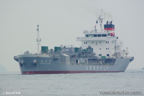
 Hokuto Maru
Current Status
Where is the vessel?
Hokuto Maru is currently in 16 nm SE of Shima, Mie, based on AIS data received about 14h ago.
Latest AIS update:
Current position: 34.16754° N, 137.09761° E (16 nm SE of Shima, Mie)
Average speed (last 7 days): Loading…
Average speed (last 30 days): Loading…
Vessel profile: Hokuto Maru is a Cement Carrier with dimensions 115m x 18m.
This page combines live AIS, route history, probable destination signals, nearby traffic, and port activity for practical vessel monitoring.
The current position of vessel Hokuto Maru is 34.16754 lat / 137.09761 lng. Updated: 2026-05-17 23:44:06 UTCNearest reference points:
- 12 nm E of TOBA
- 17 nm S of TOYOHASHI
- 20 nm S of HAMAJIMA
Currently sailing under the flag of Japan ![]()
Details:
Live Vessel Hokuto Maru Analytics (details, animations, etc.)
Recent AIS points (UTC):
2026-05-17 20:16:40 UTC · 33.71864, 136.44675 · SOG 12.1 kn · COG 54°2026-05-17 21:31:55 UTC · 33.87711, 136.68768 · SOG 12.1 kn · COG 48°
2026-05-17 23:02:16 UTC · 34.07767, 136.96808 · SOG 12.3 kn · COG 52°
2026-05-17 23:44:06 UTC · 34.16754, 137.09761 · SOG 11.8 kn · COG 51°