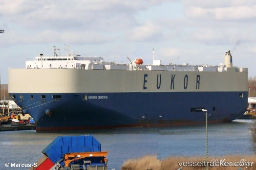
 MORNING CHRISTINA
Current Status
Where is the vessel?
MORNING CHRISTINA is currently in 273 nm E of Fort Dauphin, based on AIS data received about 14h ago.
Latest AIS update:
Current position: 25.12333° S, 52.02667° E (273 nm E of Fort Dauphin)
Average speed (last 7 days): Loading…
Average speed (last 30 days): Loading…
Vessel profile: MORNING CHRISTINA is a Vehicles Carrier with dimensions m x m.
This page combines live AIS, route history, probable destination signals, nearby traffic, and port activity for practical vessel monitoring.
The current position of vessel MORNING CHRISTINA is -25.12333 lat / 52.02667 lng. Updated: 2026-05-22 12:22:40 UTCNearest reference points:
- 271 nm E of Fort Dauphin
- 209 nm E of Manakara
- 194 nm E of Manakara
Currently sailing under the flag of South Korea ![]()
Details:
Live Vessel MORNING CHRISTINA Analytics (details, animations, etc.)
Recent AIS points (UTC):
2026-05-22 07:52:39 UTC · -24.70667, 53.25333 · SOG 16 kn · COG -1°2026-05-22 10:01:39 UTC · -24.89500, 52.65833 · SOG 15 kn · COG -1°
2026-05-22 11:01:39 UTC · -25.00167, 52.39500 · SOG 15 kn · COG -1°
2026-05-22 12:22:40 UTC · -25.12333, 52.02667 · SOG 15 kn · COG -1°