 TORM EVA
Current Status
Where is the vessel?
TORM EVA is currently in 33 nm E of Kakap Natuna Terminal, based on AIS data received about 14h ago.
Latest AIS update:
Current position: 4.88805° N, 106.48184° E (33 nm E of Kakap Natuna Terminal)
Average speed (last 7 days): Loading…
Average speed (last 30 days): Loading…
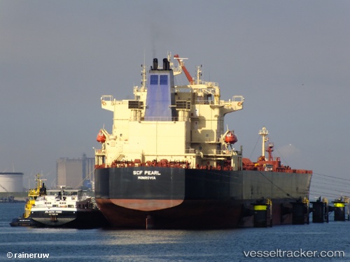
Vessel profile: TORM EVA is a Crude Oil Tanker with dimensions m x m.
This page combines live AIS, route history, probable destination signals, nearby traffic, and port activity for practical vessel monitoring.
The current position of vessel TORM EVA is 4.88805 lat / 106.48184 lng. Updated: 2026-05-22 22:05:25 UTCNearest reference points:
- 45 nm E of Kakap Natuna Terminal
- 46 nm E of Kakap Natuna Terminal
- 36 nm SW of Slipi
Currently sailing under the flag of Denmark ![]()
Details:
Live Vessel TORM EVA Analytics (details, animations, etc.)
Recent AIS points (UTC):
2026-05-22 19:31:46 UTC · 4.38919, 106.27187 · SOG 12.7 kn · COG 38°2026-05-22 19:37:27 UTC · 4.40551, 106.28383 · SOG 12.7 kn · COG 38°
2026-05-22 21:22:46 UTC · 4.74430, 106.43404 · SOG 12.8 kn · COG 19°
2026-05-22 22:05:25 UTC · 4.88805, 106.48184 · SOG 12.7 kn · COG 22°