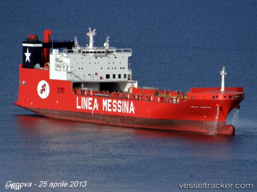
 CAPE SABLE
Current Status
Where is the vessel?
CAPE SABLE is currently in Near San Francisco, based on AIS data received about 14h ago.
Latest AIS update:
Current position: 37.74821° N, 122.38129° W (Near San Francisco)
Average speed (last 7 days): Loading…
Average speed (last 30 days): Loading…
Vessel profile: CAPE SABLE is a Vehicles Carrier with dimensions m x m.
This page combines live AIS, route history, probable destination signals, nearby traffic, and port activity for practical vessel monitoring.
The current position of vessel CAPE SABLE is 37.74821 lat / -122.38129 lng. Updated: 2026-05-23 07:42:00 UTCNearest reference points:
- Near Oakland
- Near San Francisco
- Near Treasure Island/Los Angeles
Currently sailing under the flag of United States ![]()
Details:
Live Vessel CAPE SABLE Analytics (details, animations, etc.)
Recent AIS points (UTC):
2026-05-23 05:11:40 UTC · 37.74820, -122.38129 · SOG 0 kn · COG 266°2026-05-23 05:59:39 UTC · 37.74821, -122.38129 · SOG 0 kn · COG 266°
2026-05-23 07:21:29 UTC · 37.74821, -122.38129 · SOG 0 kn · COG 266°
2026-05-23 07:42:00 UTC · 37.74821, -122.38129 · SOG 0 kn · COG 266°