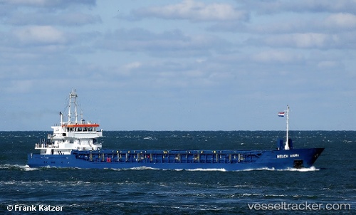
 Helen Anna
Current Status
Where is the vessel?
Helen Anna is currently in 42 nm NW of Kenitra, based on AIS data received about 15h ago.
Latest AIS update:
Current position: 34.70168° N, 7.25289° W (42 nm NW of Kenitra)
Average speed (last 7 days): Loading…
Average speed (last 30 days): Loading…
Vessel profile: Helen Anna is a Multi Purpose Carrier with dimensions 88m x 88m.
This page combines live AIS, route history, probable destination signals, nearby traffic, and port activity for practical vessel monitoring.
The current position of vessel Helen Anna is 34.70168 lat / -7.25289 lng. Updated: 2026-05-18 23:51:15 UTCNearest reference points:
- Near Mohammedia
- 45 nm W of Gibraltar
- 54 nm N of El Jadida
Currently sailing under the flag of Antigua Barbuda ![]()
Helen Anna built in 2010 year
Deadweight:
3650 tDetails:
Live Vessel Helen Anna Analytics (details, animations, etc.)
Recent AIS points (UTC):
2026-05-18 19:50:07 UTC · 34.18264, -7.43827 · SOG 7.9 kn · COG -1°2026-05-18 21:22:55 UTC · 34.36748, -7.37106 · SOG 8.1 kn · COG -1°
2026-05-18 23:00:34 UTC · 34.58789, -7.29317 · SOG 8.1 kn · COG -1°
2026-05-18 23:51:15 UTC · 34.70168, -7.25289 · SOG 8.3 kn · COG -1°