 vesseltracker.com
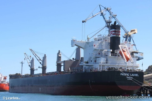
 AMMAR I
Current Status
Where is the vessel?
AMMAR I is currently in 132 nm S of Xijiang, based on AIS data received about 14h ago.
Latest AIS update:
Current position: 19.12500° N, 115.29500° E (132 nm S of Xijiang)
Average speed (last 7 days): Loading…
Average speed (last 30 days): Loading…
Vessel profile: AMMAR I is a Bulk Carrier with dimensions m x m.
This page combines live AIS, route history, probable destination signals, nearby traffic, and port activity for practical vessel monitoring.
The current position of vessel AMMAR I is 19.12500 lat / 115.29500 lng. Updated: 2026-05-18 03:59:35 UTCNearest reference points:
- 123 nm S of Shadi
- 78 nm SW of Xijiang
- 148 nm SE of Xijiang
Currently sailing under the flag of Bangladesh ![]()
Details:
Live Vessel AMMAR I Analytics (details, animations, etc.)
Recent AIS points (UTC):
2026-05-18 01:26:32 UTC · 18.72167, 115.03167 · SOG 10 kn · COG -1°2026-05-18 01:44:32 UTC · 18.76833, 115.06333 · SOG 10 kn · COG -1°
2026-05-18 03:23:32 UTC · 19.03167, 115.23333 · SOG 11 kn · COG -1°
2026-05-18 03:59:35 UTC · 19.12500, 115.29500 · SOG 10 kn · COG -1°