 S BOND
Current Status
Where is the vessel?
S BOND is currently in Near Port Said, based on AIS data received about 14h ago.
Latest AIS update:
Current position: 31.40459° N, 32.39918° E (Near Port Said)
Average speed (last 7 days): Loading…
Average speed (last 30 days): Loading…
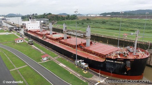
Vessel profile: S BOND is a Bulk Carrier with dimensions m x m.
This page combines live AIS, route history, probable destination signals, nearby traffic, and port activity for practical vessel monitoring.
The current position of vessel S BOND is 31.40459 lat / 32.39918 lng. Updated: 2026-05-21 13:53:28 UTCNearest reference points:
- Near Port Said
- 14 nm N of Port Said
- 16 nm N of Port Said
Currently sailing under the flag of Liberia ![]()
Details:
Live Vessel S BOND Analytics (details, animations, etc.)
Recent AIS points (UTC):
2026-05-21 09:42:15 UTC · 30.72333, 32.34333 · SOG 10 kn · COG -1°2026-05-21 09:42:15 UTC · 30.72333, 32.34333 · SOG 10 kn · COG -1°
2026-05-21 13:07:59 UTC · 31.27739, 32.35983 · SOG 10 kn · COG 12°
2026-05-21 13:53:28 UTC · 31.40459, 32.39918 · SOG 10.4 kn · COG 8°