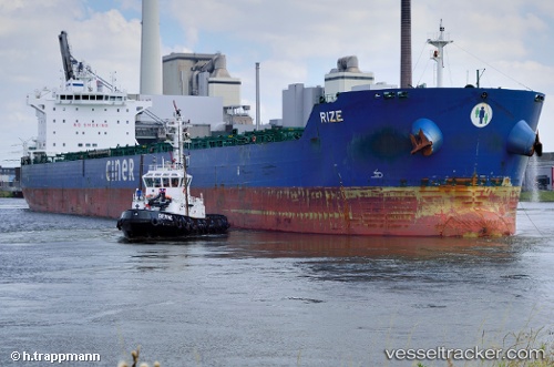
 ATHOS M
Current Status
Where is the vessel?
ATHOS M is currently in Near HULUDAO, based on AIS data received about 14h ago.
Latest AIS update:
Current position: 40.81104° N, 121.05984° E (Near HULUDAO)
Average speed (last 7 days): Loading…
Average speed (last 30 days): Loading…
Vessel profile: ATHOS M is a Bulk Carrier with dimensions m x m.
This page combines live AIS, route history, probable destination signals, nearby traffic, and port activity for practical vessel monitoring.
The current position of vessel ATHOS M is 40.81104 lat / 121.05984 lng. Updated: 2026-05-21 07:14:32 UTCNearest reference points:
- Near HULUDAO
- 18 nm SE of HULUDAO
- 20 nm S of HULUDAO
Currently sailing under the flag of Liberia ![]()
Details:
Live Vessel ATHOS M Analytics (details, animations, etc.)
Recent AIS points (UTC):
2026-05-21 03:37:55 UTC · 40.80838, 121.06173 · SOG 0.4 kn · COG 346°2026-05-21 04:01:55 UTC · 40.80923, 121.06288 · SOG 0 kn · COG 328°
2026-05-21 05:38:24 UTC · 40.80925, 121.06287 · SOG 0 kn · COG 328°
2026-05-21 07:14:32 UTC · 40.81104, 121.05984 · SOG 3.7 kn · COG 328°