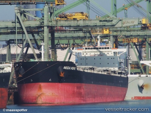
Sea Hope
Current StatusWhere is the vessel?
Sea Hope is currently in 89 nm SE of Ol'ga, based on AIS data received about 14h ago.
Latest AIS update:
Current position: 42.51167° N, 136.44833° E (89 nm SE of Ol'ga)
Average speed (last 7 days): Loading…
Average speed (last 30 days): Loading…
Vessel profile: Sea Hope is a Bulk Carrier with dimensions 32m x 229m.
This page combines live AIS, route history, probable destination signals, nearby traffic, and port activity for practical vessel monitoring.
The current position of vessel Sea Hope is 42.51167 lat / 136.44833 lng. Updated: 2026-05-22 10:17:28 UTCNearest reference points:
- 30 nm S of Ol'ga
- 33 nm NE of Ol'ga
- 37 nm SW of PLASTUN
Details:
Live Vessel Sea Hope Analytics (details, animations, etc.)
Recent AIS points (UTC):
2026-05-22 07:20:29 UTC · 41.95833, 136.01833 · SOG 12 kn · COG -1°2026-05-22 07:44:29 UTC · 42.03333, 136.07500 · SOG 12 kn · COG -1°
2026-05-22 09:14:31 UTC · 42.31333, 136.29500 · SOG 12 kn · COG -1°
2026-05-22 10:17:28 UTC · 42.51167, 136.44833 · SOG 13 kn · COG -1°