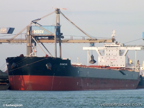
 CANCUN
Current Status
Where is the vessel?
CANCUN is currently in 61 nm NE of Pagerungan, based on AIS data received about 15h ago.
Latest AIS update:
Current position: 6.47098° S, 116.84054° E (61 nm NE of Pagerungan)
Average speed (last 7 days): Loading…
Average speed (last 30 days): Loading…
Vessel profile: CANCUN is a Bulk Carrier with dimensions m x m.
This page combines live AIS, route history, probable destination signals, nearby traffic, and port activity for practical vessel monitoring.
The current position of vessel CANCUN is -6.47098 lat / 116.84054 lng. Updated: 2026-05-21 08:47:49 UTCNearest reference points:
- 74 nm NE of Pagerungan
- 37 nm E of Pagerungan
- 117 nm W of Panakukang
Currently sailing under the flag of Liberia ![]()
Details:
Live Vessel CANCUN Analytics (details, animations, etc.)
Recent AIS points (UTC):
2026-05-21 06:42:59 UTC · -6.80147, 116.75682 · SOG 9.8 kn · COG 17°2026-05-21 06:42:59 UTC · -6.80147, 116.75682 · SOG 9.8 kn · COG 17°
2026-05-21 08:47:49 UTC · -6.47098, 116.84054 · SOG 9.7 kn · COG 15°
2026-05-21 08:47:49 UTC · -6.47098, 116.84054 · SOG 9.7 kn · COG 15°