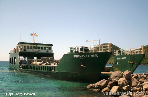
 BAHAMAS EXPRESS
Current Status
Where is the vessel?
BAHAMAS EXPRESS is currently in 26 nm W of Little Stirrup Cay, based on AIS data received about 14h ago.
Latest AIS update:
Current position: 25.93047° N, 78.39457° W (26 nm W of Little Stirrup Cay)
Average speed (last 7 days): Loading…
Average speed (last 30 days): Loading…
Vessel profile: BAHAMAS EXPRESS is a Landing Craft with dimensions m x m.
This page combines live AIS, route history, probable destination signals, nearby traffic, and port activity for practical vessel monitoring.
The current position of vessel BAHAMAS EXPRESS is 25.93047 lat / -78.39457 lng. Updated: 2026-05-18 21:19:47 UTCNearest reference points:
- 44 nm S of Freeport
- 44 nm E of Surfside
- 27 nm SE of Gorda Cay
Currently sailing under the flag of Antigua and Barbuda ![]()
Details:
Live Vessel BAHAMAS EXPRESS Analytics (details, animations, etc.)
Recent AIS points (UTC):
2026-05-18 18:40:23 UTC · 26.02658, -78.75247 · SOG 8 kn · COG -1°2026-05-18 21:19:47 UTC · 25.93047, -78.39457 · SOG 7.4 kn · COG 104°
2026-05-18 21:19:47 UTC · 25.93047, -78.39457 · SOG 7.4 kn · COG 104°
2026-05-18 21:19:47 UTC · 25.93047, -78.39457 · SOG 7.4 kn · COG 104°