 vesseltracker.com
 CAVARLY
Current Status
Where is the vessel?
CAVARLY is currently in 242 nm SE of Diego Garcia, based on AIS data received about 14h ago.
Latest AIS update:
Current position: 9.26918° S, 76.03671° E (242 nm SE of Diego Garcia)
Average speed (last 7 days): Loading…
Average speed (last 30 days): Loading…
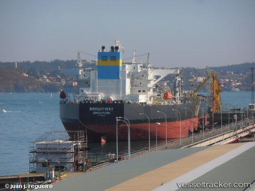
Vessel profile: CAVARLY is a Crude Oil Tanker with dimensions m x m.
This page combines live AIS, route history, probable destination signals, nearby traffic, and port activity for practical vessel monitoring.
The current position of vessel CAVARLY is -9.26918 lat / 76.03671 lng. Updated: 2026-05-18 08:00:04 UTCNearest reference points:
- 284 nm E of Diego Garcia
- 208 nm E of Diego Garcia
- Open sea, approx. 400 nm off the nearest listed port
Currently sailing under the flag of India ![]()
Details:
Live Vessel CAVARLY Analytics (details, animations, etc.)
Recent AIS points (UTC):
2026-05-18 04:12:36 UTC · -9.74936, 75.44483 · SOG 12.1 kn · COG 49°2026-05-18 06:07:55 UTC · -9.50608, 75.74703 · SOG 11.9 kn · COG 49°
2026-05-18 08:00:04 UTC · -9.26918, 76.03671 · SOG 11.8 kn · COG 51°
2026-05-18 08:00:04 UTC · -9.26918, 76.03671 · SOG 11.8 kn · COG 51°