 MAGNES
Current Status
Where is the vessel?
MAGNES is currently in 44 nm NE of Mutineer, based on AIS data received about 16h ago.
Latest AIS update:
Current position: 18.81117° S, 117.20155° E (44 nm NE of Mutineer)
Average speed (last 7 days): Loading…
Average speed (last 30 days): Loading…
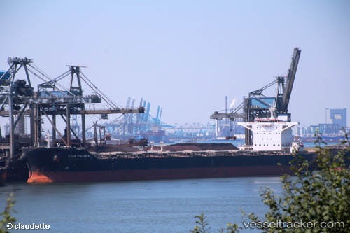
Vessel profile: MAGNES is a Bulk Carrier with dimensions m x m.
This page combines live AIS, route history, probable destination signals, nearby traffic, and port activity for practical vessel monitoring.
The current position of vessel MAGNES is -18.81117 lat / 117.20155 lng. Updated: 2026-05-29 10:05:43 UTCNearest reference points:
- 116 nm NE of Mutineer
- 121 nm NE of Mutineer
- 11 nm E of Port Walcot
Currently sailing under the flag of Liberia ![]()
Details:
Live Vessel MAGNES Analytics (details, animations, etc.)
Recent AIS points (UTC):
2026-05-29 08:03:51 UTC · -19.19167, 117.23833 · SOG 11 kn · COG -1°2026-05-29 09:50:40 UTC · -18.85153, 117.20713 · SOG 11.3 kn · COG 351°
2026-05-29 10:00:51 UTC · -18.81833, 117.20167 · SOG 11 kn · COG -1°
2026-05-29 10:05:43 UTC · -18.81117, 117.20155 · SOG 10.6 kn · COG -1°