 NIKOS
NIKOS
Current Status
Where is the vessel?
NIKOS is currently in 55 nm SW of Keti Bandar, based on AIS data received about 14h ago.
Latest AIS update:
Current position: 23.70004° N, 66.54566° E (55 nm SW of Keti Bandar)
Average speed (last 7 days): Loading…
Average speed (last 30 days): Loading…
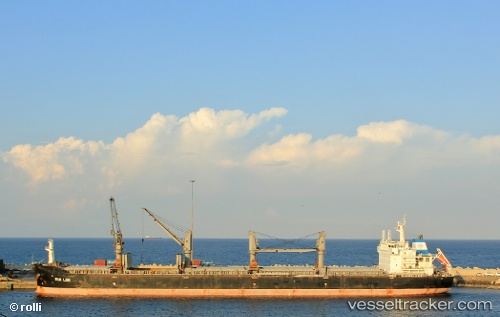
Vessel profile: NIKOS is a Bulk Carrier with dimensions m x m.
This page combines live AIS, route history, probable destination signals, nearby traffic, and port activity for practical vessel monitoring.
The current position of vessel NIKOS is 23.70004 lat / 66.54566 lng. Updated: 2026-05-21 14:19:14 UTCNearest reference points:
- 84 nm SW of Keti Bandar
- 16 nm S of Kiamari
- Near Kiamari
Currently sailing under the flag of Liberia ![]()
Details:
Live Vessel NIKOS Analytics (details, animations, etc.)
Recent AIS points (UTC):
2026-05-21 10:36:14 UTC · 23.72096, 66.45222 · SOG 1.3 kn · COG 145°2026-05-21 11:56:14 UTC · 23.71042, 66.48377 · SOG 1.2 kn · COG 143°
2026-05-21 13:14:22 UTC · 23.70275, 66.51610 · SOG 1.9 kn · COG 140°
2026-05-21 14:19:14 UTC · 23.70004, 66.54566 · SOG 1.9 kn · COG 137°