 JULIETTA D
Current Status
Where is the vessel?
JULIETTA D is currently in Near BUKOM ISLAND, based on AIS data received about 14h ago.
Latest AIS update:
Current position: 1.13394° N, 103.76200° E (Near BUKOM ISLAND)
Average speed (last 7 days): Loading…
Average speed (last 30 days): Loading…
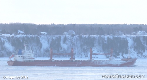
Vessel profile: JULIETTA D is a Cargo with dimensions 190m x 28m.
This page combines live AIS, route history, probable destination signals, nearby traffic, and port activity for practical vessel monitoring.
The current position of vessel JULIETTA D is 1.13394 lat / 103.762 lng. Updated: 2026-05-21 17:47:16 UTCNearest reference points:
- Near BUKOM ISLAND
- Near JURONG ISLAND
- Near Pasir Panjang Wharves
Currently sailing under the flag of Malta ![]()
JULIETTA D built in 2013 year
Deadweight:
37202 tDetails:
Live Vessel JULIETTA D Analytics (details, animations, etc.)
Recent AIS points (UTC):
2026-05-21 13:49:54 UTC · 1.33844, 103.23300 · SOG 10.3 kn · COG 130°2026-05-21 16:06:06 UTC · 1.10656, 103.53800 · SOG 10.6 kn · COG 119°
2026-05-21 16:06:14 UTC · 1.10633, 103.53800 · SOG 10.6 kn · COG 119°
2026-05-21 17:47:16 UTC · 1.13394, 103.76200 · SOG 10.9 kn · COG 45°