 ANGEL
ANGEL
Current Status
Where is the vessel?
ANGEL is currently in 275 nm N of Bernal, based on AIS data received about 14h ago.
Latest AIS update:
Current position: 30.17333° S, 38.92667° W (275 nm N of Bernal)
Average speed (last 7 days): Loading…
Average speed (last 30 days): Loading…
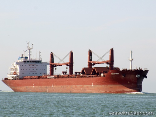
Vessel profile: ANGEL is a Cargo with dimensions m x m.
This page combines live AIS, route history, probable destination signals, nearby traffic, and port activity for practical vessel monitoring.
The current position of vessel ANGEL is -30.17333 lat / -38.92667 lng. Updated: 2026-05-19 11:32:03 UTCCurrently sailing under the flag of Liberia ![]()
Details:
Live Vessel ANGEL Analytics (details, animations, etc.)
Recent AIS points (UTC):
2026-05-19 08:13:13 UTC · -29.91371, -38.28294 · SOG 11 kn · COG 244°2026-05-19 09:26:01 UTC · -30.01167, -38.52333 · SOG 10 kn · COG -1°
2026-05-19 10:47:03 UTC · -30.11500, -38.78167 · SOG 10 kn · COG -1°
2026-05-19 11:32:03 UTC · -30.17333, -38.92667 · SOG 11 kn · COG -1°